Strategic Assessment of Space
- Study programme
- Second-Cycle Master Study Programme Urbanism (MŠU)
- Study year and semesters
- Year 1—summer semester
- Subject type
- obligatory
- Number of ECTS credits
- 5
- Subject university code
- 1.11
- Lecturer
- Tomaž Berčič
- Workload
-
- Lectures
- 30
- Tutorials
- 15
- Other forms of study work
- 15
- Independent work
- 90
Strategic spatial planning can be read as a critical response to conventional land-use planning. Rather than a fixed masterplan, it works with visions, strategies and the steps to carry them out, operating at national, regional and local levels over long time horizons.
Lectures fall into four blocks: the development of the discipline and its theory; spatial data and GIS in spatial analysis; strategic documents from the international to the local scale; and decision-making alongside contemporary, post-covid paradigms. Action planning, participation, the city of proximity and the role of artificial intelligence run through all of them.
Across three linked exercises students analyse a city’s strategic document, carry out a perceptual and data-based analysis of an area, and finally build their own spatial strategy with a SWOT analysis and stakeholder mapping.
Keywords: strategic spatial planning · vision and strategy · action planning · SPRS 2050 · participation · governance · GIS and spatial analysis · multi-criteria decision-making · city of proximity · tactical urbanism
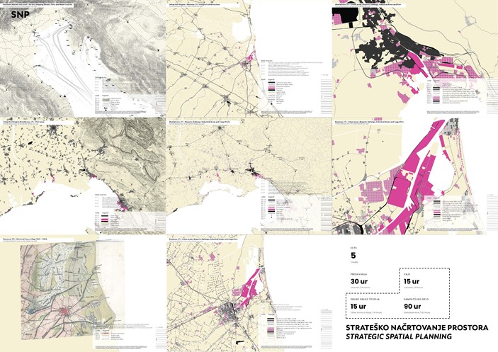
Kartografske analize razvoja pristaniških mest na severnem Jadranu (Ravena, Tržič ob Soči). / Cartographic analyses of port-city development on the northern Adriatic coast (Ravenna, Monfalcone).