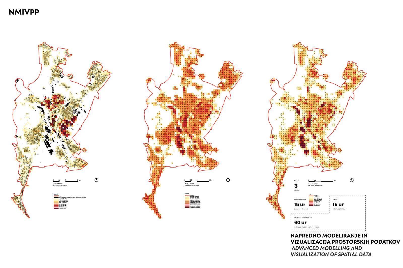
Advanced Modelling and Visualization of Spatial Data
- Study programme
- Second-Cycle Master Study Programme Urbanism (MŠU)
- Study year and semesters
- Year 1—winter semester
- Subject type
- elective
- Number of ECTS credits
- 3
- Lecturer
- Tomaž Berčič
- Workload
-
- Lectures
- 15
- Tutorials
- 15
- Other forms of study work
- 60
This research-oriented elective looks at advanced ways of showing data about cities and the built environment. The focus sits on visualising and analysing all kinds of spatial data with geomatic tools and with analytical and web technologies.
Work runs through a series of assignments across the semester and closes with individual or group presentations. The course ties together mapping, modelling, evaluation and visualisation, so that each student steadily builds a portfolio of results.
Particular attention goes to reading data critically, to its reliability, accuracy and the suitability of sources, and to the ethical and social questions that come with collecting and presenting spatial data.
Keywords: spatial data · cartographic design · data visualisation · GIS · geomatics · 3D modelling · web technologies · interactive visualisation · spatio-temporal data · communicating results